

Tropical Storm Eta Warnings And Watches In Effect in Florida
Eta continues to be a depression and is producing heavy rain, gusty winds and life-threatening flooding. It is forecast to strengthen into a tropical storm. South Florida is now under a tropical storm watch. I urge everyone to keep watching and make your preparations now.
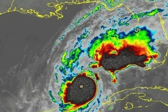
Tropical Depression (TD) Eta in the central Caribbean Sea is moving NE at 13 MPH with maximum sustained winds of 35 MPH and with a continued trajectory moving towards the South Florida peninsula. A Flood Watch is in effect for Southeast Florida through Tuesday evening. A Wind Advisory will be in effect from 7:00 P.M. this evening to 6:00 A.M. Saturday. TD
The National Weather Service has issued a tropical storm warning for Miami-Dade and the Florida Keys as Tropical Storm Eta moves towards South Florida. A tropical storm warning means tropical storm-force winds are possible in the area within the next 36 hours.
Eta is forecast to regain Tropical Storm (TS) strength today before approaching South Florida on Sunday and Monday as it expands in size. Rainfall chances are forecast to increase throughout the weekend, and rainfall amounts from today through Tuesday could be as much as 8 inches with the highest probabilities for rainfall occurring Sunday and Monday. Due to already saturated grounds from recent rainfall this could result in the potential for additional flooding concerns throughout the region.
Residents should be making efforts to protect property at this time, as wind damage could occur with winds gusting anywhere around 50 mph.
UPDATE SUNDAY 8
The National Weather Service has issued a Hurricane Watch that extends from the Florida Keys to Deerfield Beach, and a Tropical Storm Warning in the region has been expanded to include Broward and Palm Beach counties, as Tropical Storm Eta moves toward South Florida.
A hurricane watch means hurricane-force winds are possible in the area within the next 24 hours.
A tropical storm warning means tropical storm-force winds are possible in the area within the next 36 hours.
As of the 7 AM advisory, Eta was a Tropical Storm with 60 mile per hour winds. The storm was moving north northeast at 12 miles per hour and was located about 280 miles south of Miami.
Eta is expected to move through the Florida Keys as early as Monday morning with 70 mile per hour winds.
Residents should be making efforts today to protect property at this time, as wind damage could occur with winds gusting anywhere around 60 mph.
The Miami-Dade County Office of Emergency Management will continue to provide updates on this weather system as it evolves. Detailed information on this system can be found at www.nhc.noaa.gov (Mobile: www.nhc.noaa.gov/mobile). For forecast information specific to your area please visit http:/www./weather.gov/mfl.